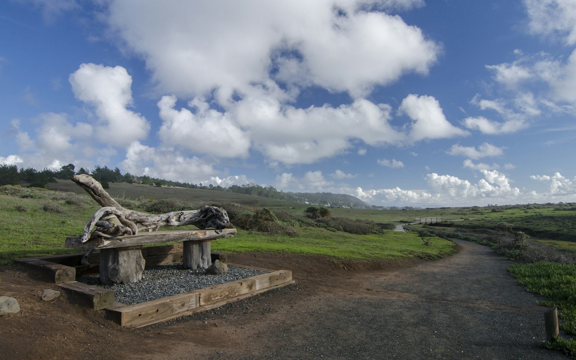
Fiscalini Ranch Preserve
The Fiscalini Ranch Preserve is a 430-acre open space in Cambria, bordered by the Pacific Ocean to the west. Known for its scenic beauty and valuable habitats, the Ranch has historically supported activities like cattle ranching, limited crop production, and hiking. It also serves the Cambria Community Services District (CCSD) and local fire agencies by providing emergency and utility service access between the Park Hill, Marine Terrace, and West Lodge Hill neighborhoods. The Ranch is split by the Highway 1 corridor, with sections known as the East Ranch and West Ranch.
West Ranch
The 350-acre West Ranch section of Fiscalini Ranch Preserve features diverse topography and habitats, extending from steep hillsides west of Highway 1 down to gentle, rolling terrain along the coastal bluff. Enclosed by Cambria and bordered by the Park Hill and West Lodge Hill neighborhoods, the West Ranch offers varied landscapes, including dense Monterey Pine forests on its southeastern slopes. This area is home to the site’s largest Monterey Pine stand, with additional smaller stands to the southwest.
Beyond the ridgeline (approximately 257 feet in elevation), grasslands stretch toward the ocean bluff, interspersed with riparian scrub and seasonal wetlands along westward-flowing drainages. These drainages support hydrophytic vegetation, and wetland plants can also be found scattered across the coastal terrace grasslands near the bluff edge, contributing to the area's rich ecological diversity.

East Ranch
The 70-acre East Ranch of the Fiscalini Ranch Preserve lies to the north and south of Santa Rosa Creek, east of Highway 1. This area primarily encompasses the creek’s channel, banks, and floodplain. Santa Rosa Creek, the main drainage feature, spans about 100 feet in width but narrows to a low-flow channel roughly 15 feet wide for much of the year. Grasslands cover most of the floodplain beyond the creek’s riparian corridor, transitioning to seasonal wetland and riparian areas near Highway 1.
The East Ranch’s southern boundary rises from the creek floodplain (elevations of 33 to 43 feet) to a 170-foot ridgeline, covered in Monterey Pine forest, Coast Live Oak, and Toyon woodland, with coastal scrub patches. A seasonal wetland along Highway 1 in the southwestern East Ranch supports a variety of hydrophytic vegetation, adding to the ecological diversity of this eastern section.

Ranch Accessibility
The Fiscalini Ranch Preserve is accessible from multiple points within Cambria. Public access to the West Ranch is commonly from Windsor Boulevard, running along the north and south of this section, and also from undeveloped areas along Huntington and Warren Roads. Community Service District (CCSD) sewer-line roads provide additional access from Highway 1 near the bridge and from Rodeo Drive to the east. The East Ranch is typically accessed via volunteer trails in the East Lodge Hill neighborhood, while Rodeo Grounds Drive (off Burton Drive) serves as a CCSD entry point to the East Ranch and their water facilities next to Santa Rosa Creek.
The CCSD manages both the East and West Ranch areas, with potential future management of the West Ranch by North Coast Small Wilderness Area Preservation (NCSWAP) or a similar organization.
The West Ranch includes a variety of trails open to hikers and bicyclists. The popular Bluff Trail, located on the West Ranch, was improved in 2006 to become fully ADA-accessible, complete with an ADA parking area at the north trailhead. The Marine Terrace Trail on the West Ranch also serves as an ADA-accessible emergency roadway and multipurpose trail, allowing hikers, bicyclists, and leashed dogs to enjoy the space.


